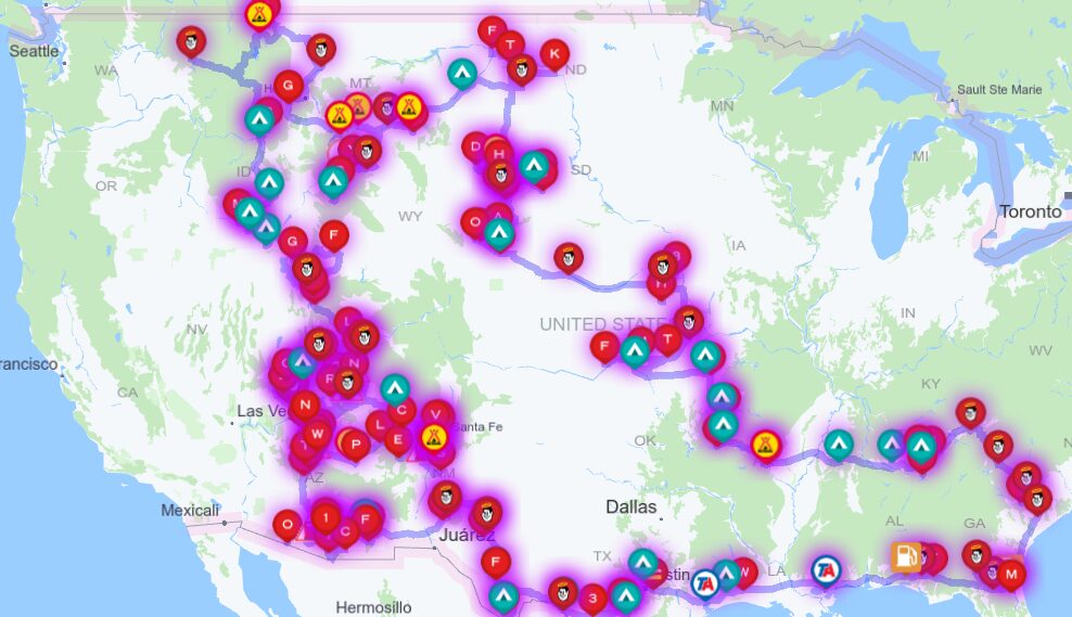
14 June 2024 – Trip Day 75
We drove out west to visit El Malpais National Monument (Spanish for the badlands or the bad country). It was a pretty easy drive on I-40 west. We stopped for gas in Grants, NM and were greeted with a freak hailstorm.


Aside with the hail there was quite a bit of rain. We were waiting at a gas station for a while, figuring that the people there were hiding from the rain and not moving, but that was not the case. The pumps at that gas station were running very slowly, like the station was out of gas. We relocated to a different gas station and were able to fill up and get back on the road.
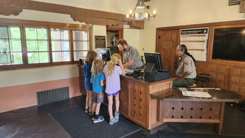
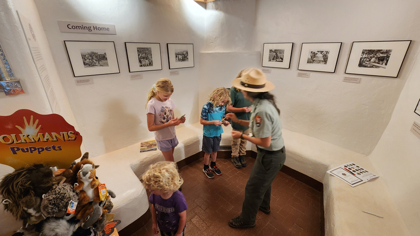
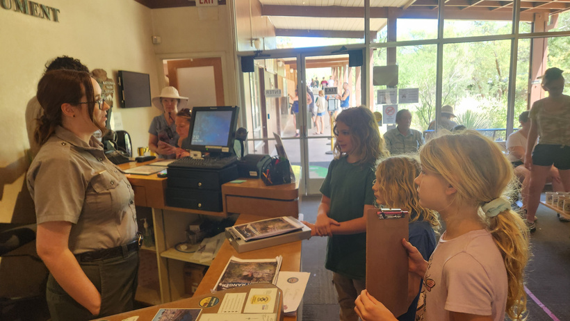
Jarek speaks with the Ranger about his Junior Ranger book. We printed off the books ahead of time.
El Malpais was considered bad lands by the Spanish because their horses did not do well and there was not much water on the land. The area consists of numerous lava flows, with some comparatively recent. They are connected with several other sites of volcanic activity in New Mexico.

There was not much in the way of a museum here. the kids turned in their books and received their badges. We planned to come back later for the evening hike out to watch the bats fly out of one of the lava caves.

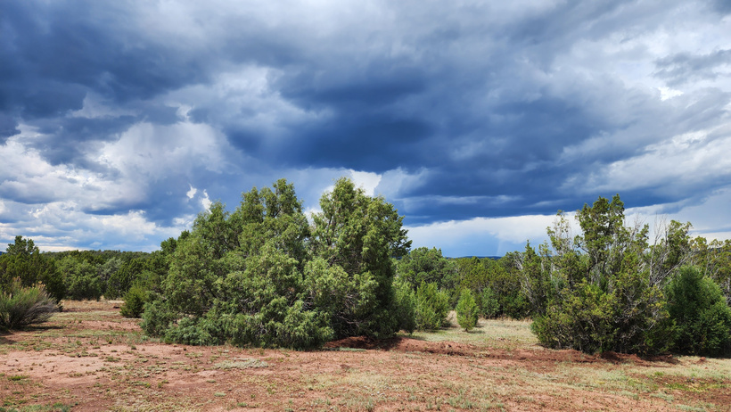
The clouds that rained and hailed on us earlier threatened to do it again.
We quickly packed up and headed out to El Morro National Monument, hoping to get there before they closed.
We did get there just in the nick of time for the kids to get their stuff turned in. They had a little museum that was nice, but we weren’t able to take the trail as they closed the park and controlled access to the site.
El Morro (the headland) was a stop for early travelers with reliable water. The trail access stopped an hour before the site closed.
The drive out was very scenic and I hope to get to that video soon!
We drove back toward El Mapais and stopped at the El Calderon trail head where the hike would start at. We hung out and ate our lunch/dinner and the kids played a bit while we killed some time.

Randal enjoys his dinner with a smile!
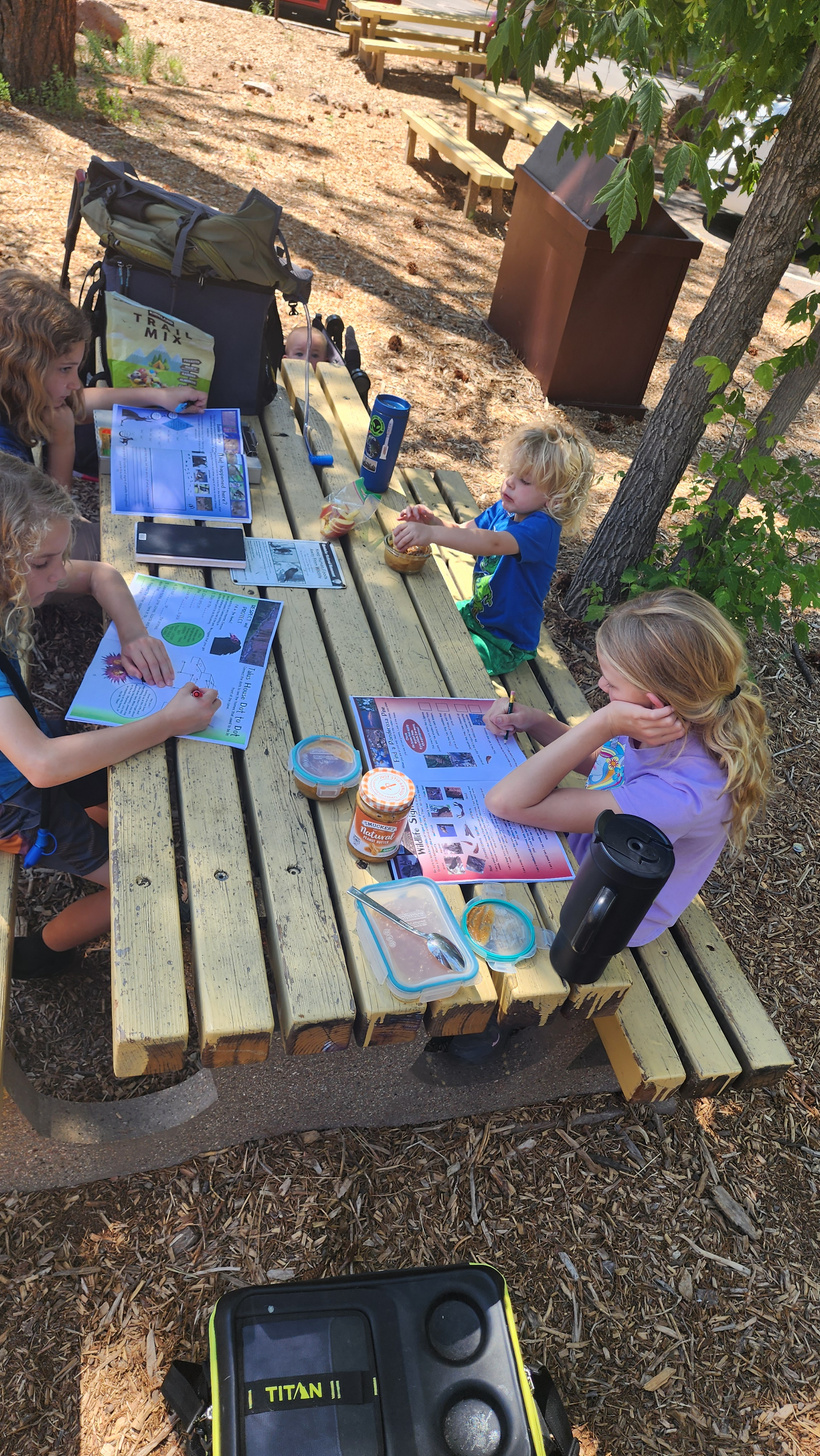
Alan helps Evan finish his book. We would give the kids extra rewards if they did their whole activity book rather than what was required for their age group.
On the hike with the Ranger. We stopped at a lava tube formation where he explained how they formed. Jarek also asked many questions.
Back on the trail while the Sun sets.
Desert thistles taking advantage of the rain.

Our view of the bat cave.
Waiting for the bats! I don’t have any pictures of the bats due to the low light. I do have a video of the hike and of some of the bats, which you can see here at this post.
Thanks for reading!
Sign up on Patreon as a free member to get notified of updates on our Journey! You can read about other stops on our adventure here on Patreon, or at our blog at https://www.wolfandraven.blog
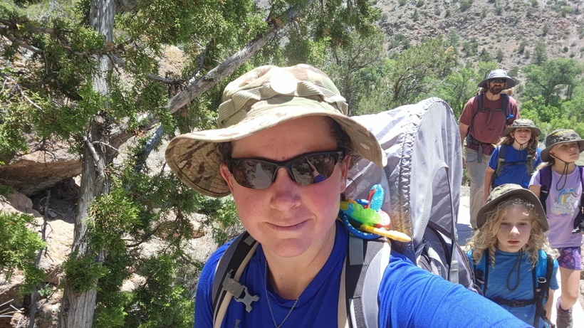
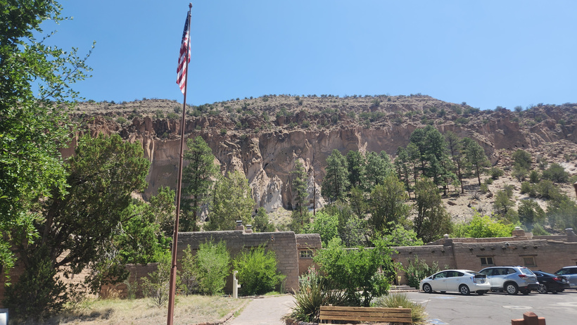
We arrived and were able to find parking and managed to avoid the shuttle requirement. We had lunch in the picnic area while the kids worked on their books.
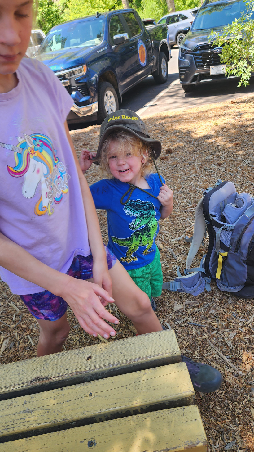
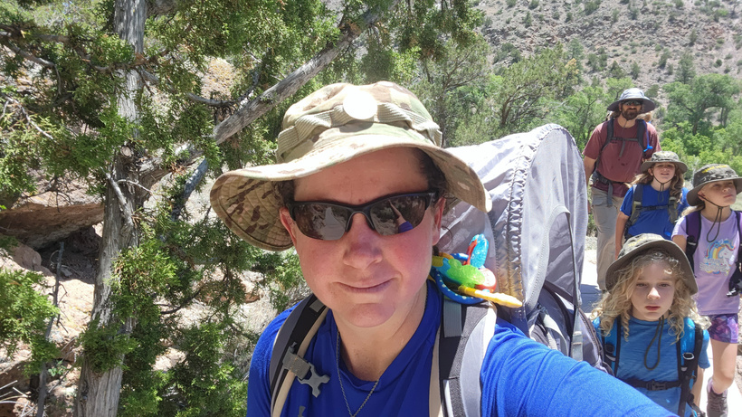
Ducky got his own hat – he was very happy with it!
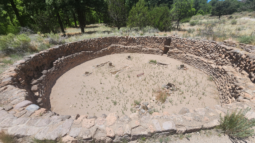
A view of one of the large kivas on the valley bottom below the housing areas.
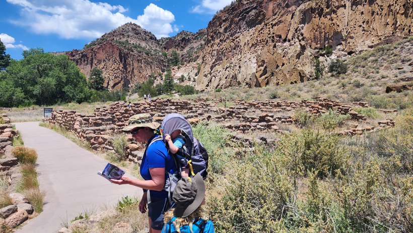
Meagan checks the pocket guide for information on some of the ruins as we work our way up the path.
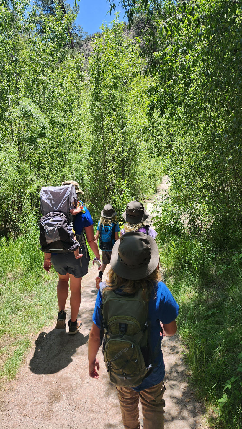
Pressing onward up the trail.
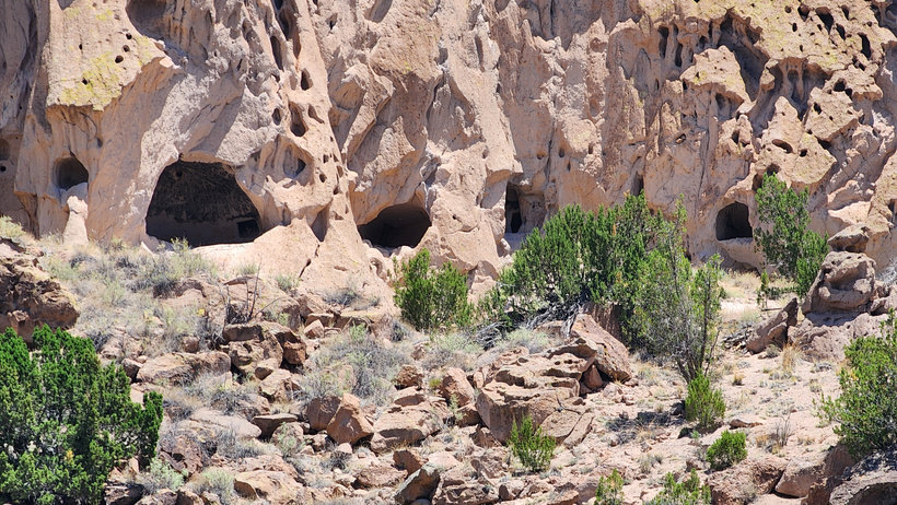
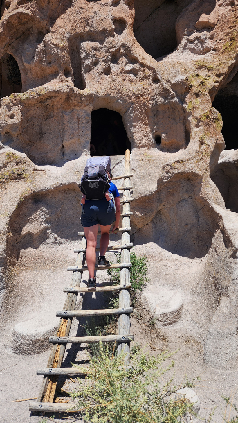
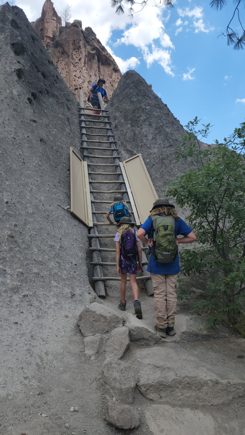
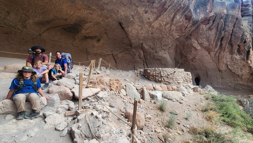
The trail leads up to the base of the cliffs where ladders are placed at some of the caves so you may climb up and have a look around.
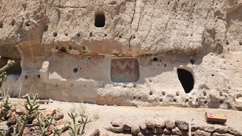
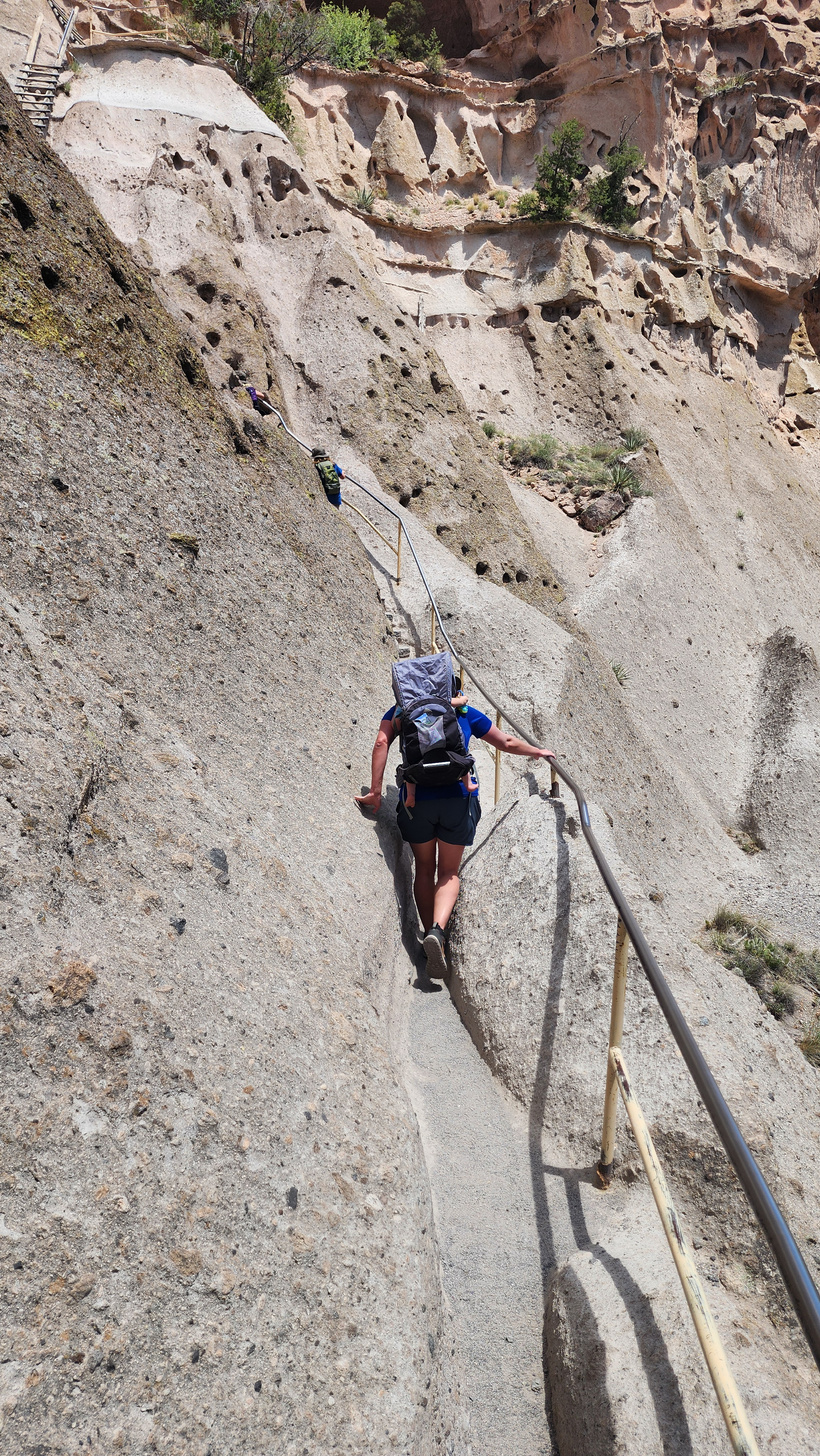
Petroglyphs on the wall where rooms once stood. The small holes in the rock face are where support beams would have been inserted to form roofs and walls. The trail along the cliff face was very narrow and required deft footing to successfully navigate.
After we checked out the cliff dwellings, we continued on down the trail to
Alcove House sits about 140 feet above the canyon floor and required navigating a series of ladders to climb up to it.
After the first ladder is a short ‘path’ up the hillside to the next ladder.
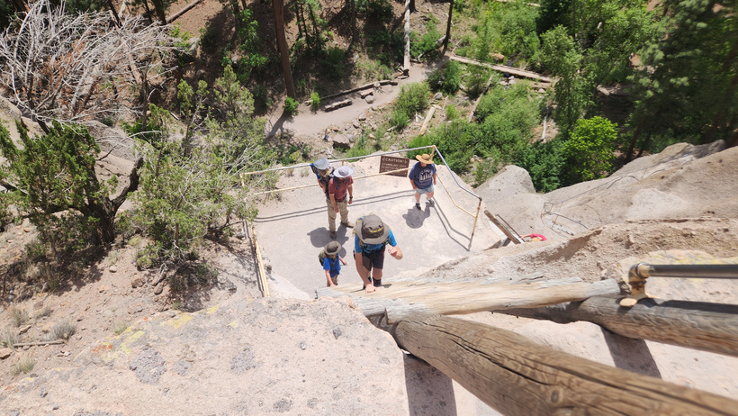
Meagan was at the top of the ladder, while Alan waited at the bottom of the ladder.
Family photo at the top in Alcove House.
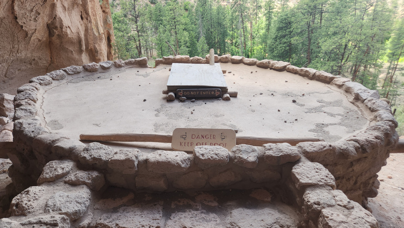
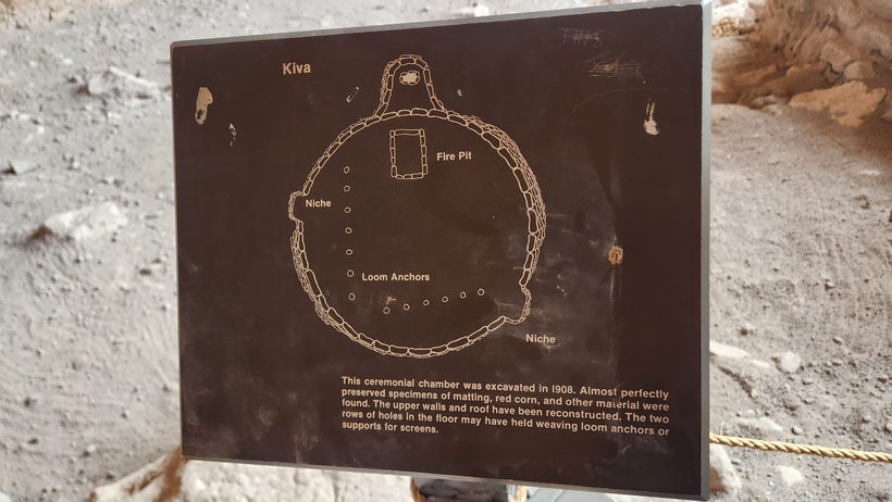
The kiva
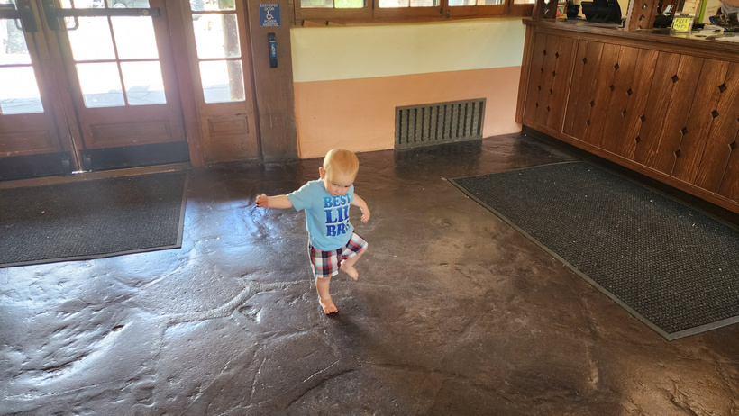
After exploring the Alcove House, we returned to the visitor center. Randal was very excited about being out of his pack pack and being able to walk!


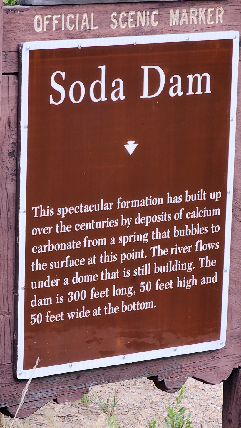
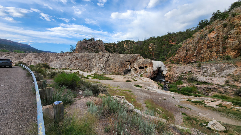
On the way back to Albuquerque for the night we came upon an odd sight. The marker roadside told the story of Soda Dam.
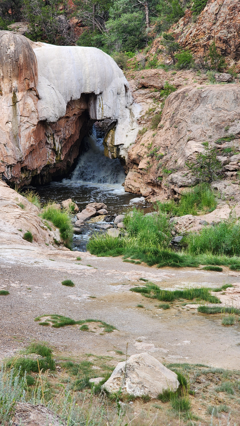
A close up of the dam.
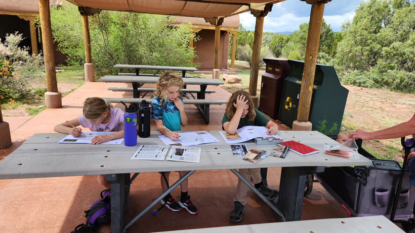
We arrived at Pecos NHP and the kids got their books. We had lunch outside while they worked on them.
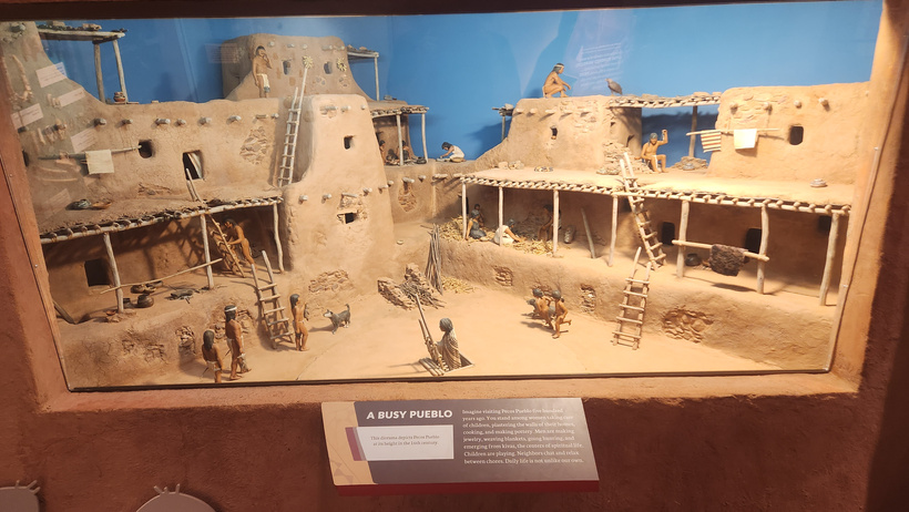
There was a nice museum inside that documented the Pueblo and its history.
The monsoons were building while we enjoyed our lunch.
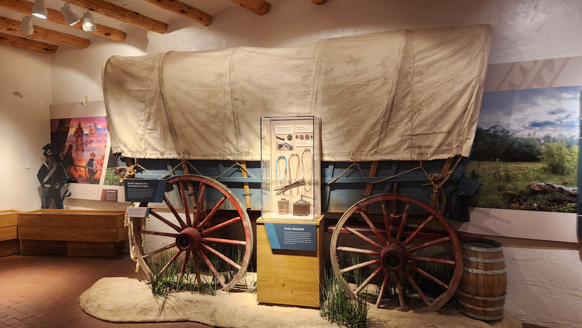
Numerous mock ups were inside the museum, as well as information on the civil war era
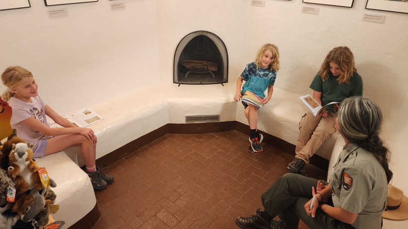
After they completed the books, the kids had an interview with the Ranger and received their badges.
After the kids received their badges, we went out for a walk on the short trail that took us to the pueblo and the mission church remains.
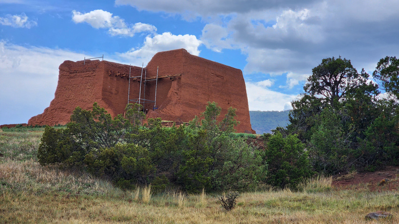
The ruins of the mission stand above the trees.
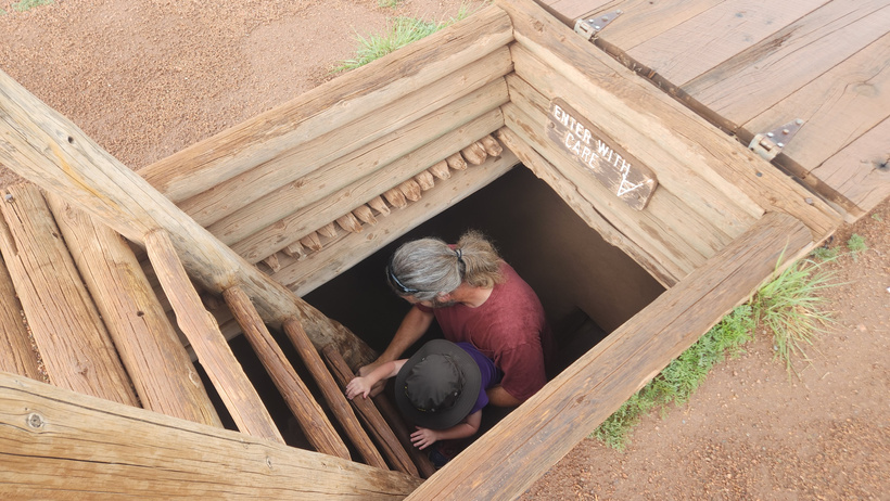
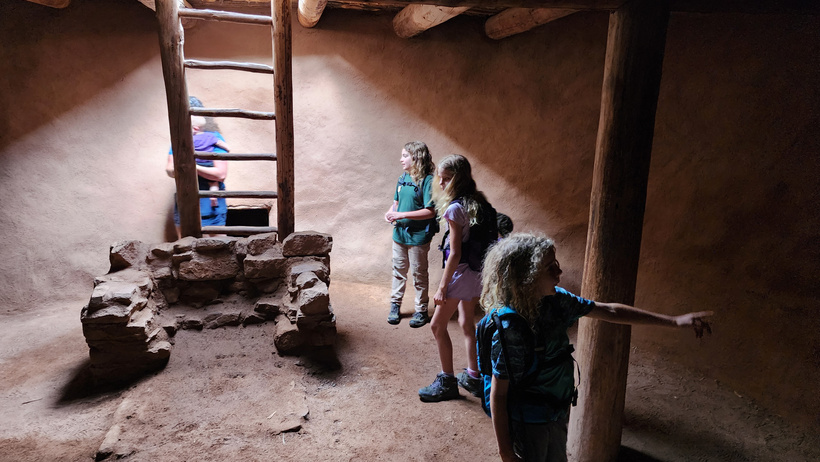
There was a large reconstructed kiva on the trail that we were able to climb down into. I helped Ducky descend the ladder.
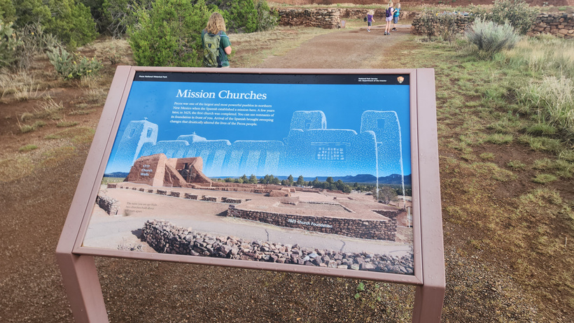
An informational sign showing the previous structure and what remains of the mission church. The mission church had several kivas which were incorporated on the church grounds. This was unusual because most mission churches did not have kivas on their grounds. This was also one of the pueblos that was successful in revolting against the Spanish rule.
After our visit to the
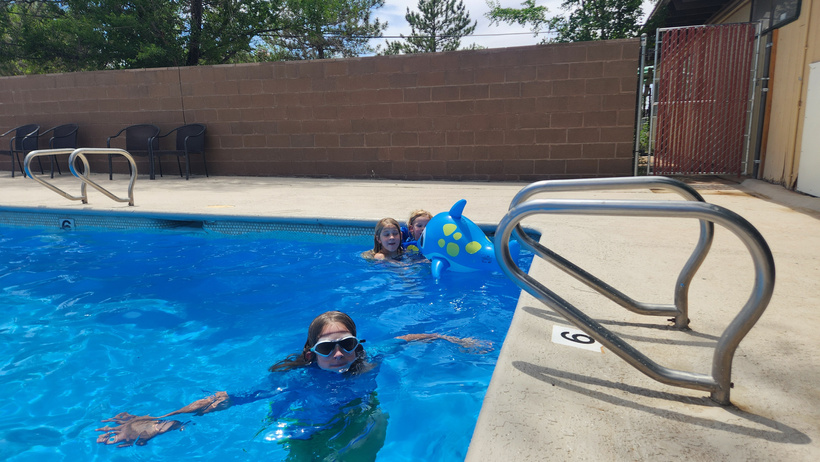
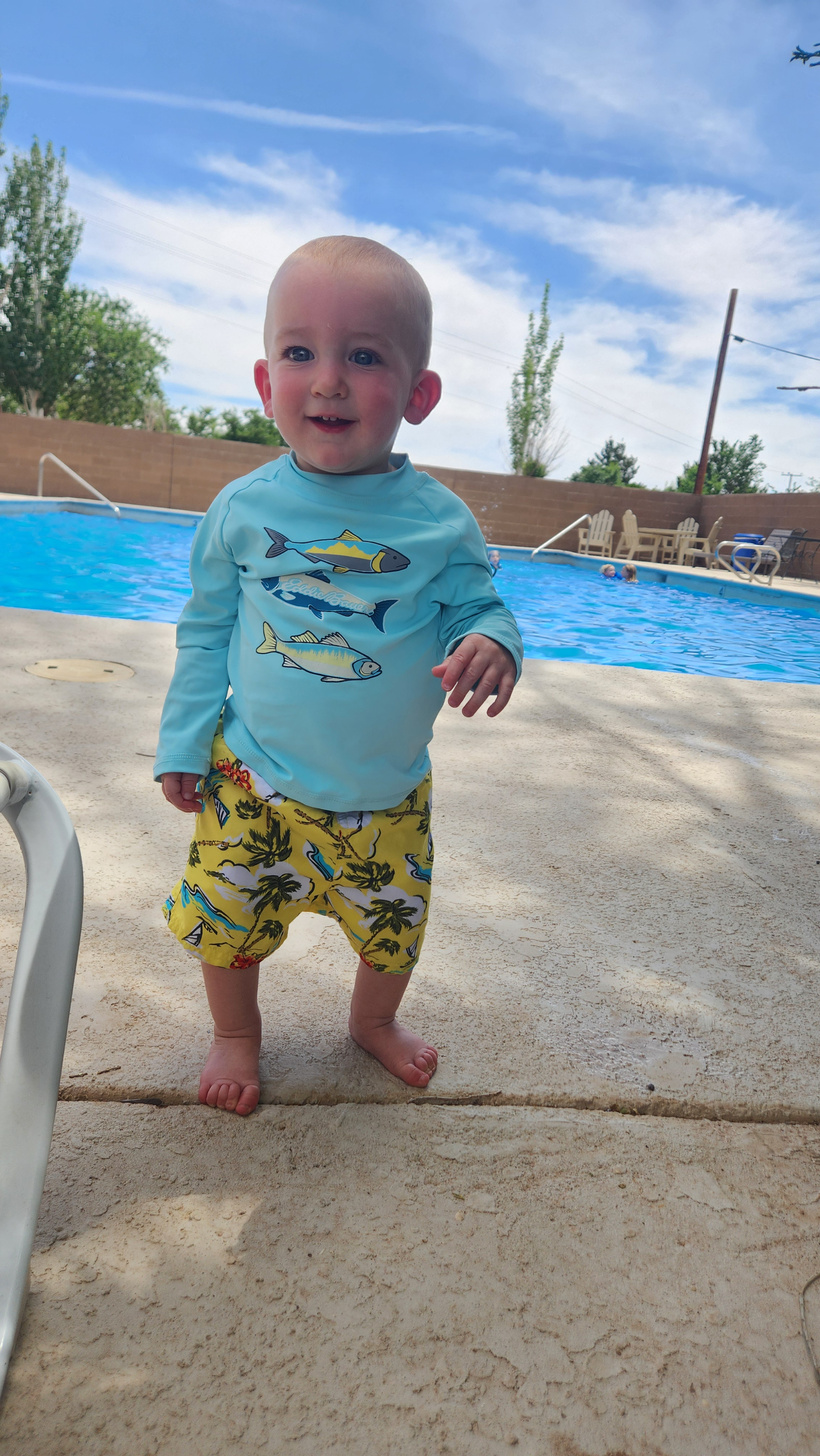
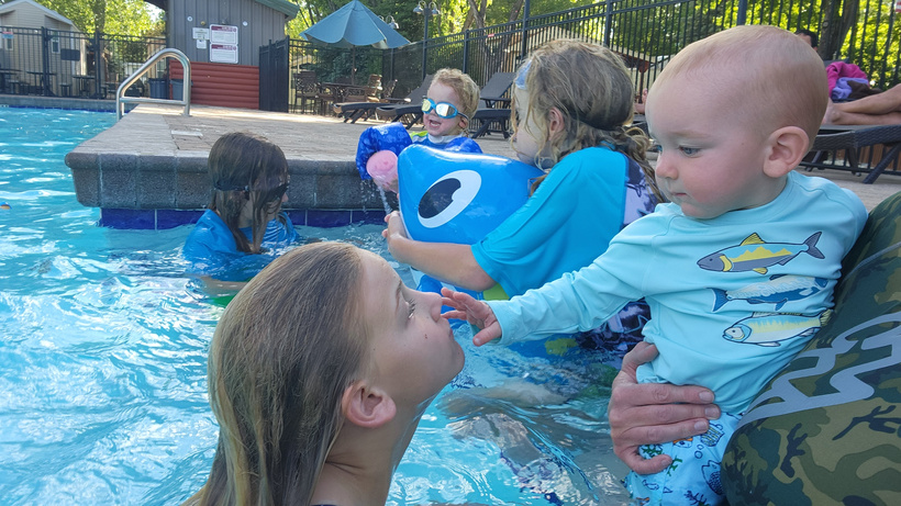
The campground had a nice pool that let the kids beat the heat!
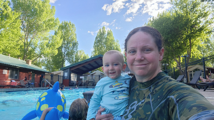
Randal always loves his water play time as well!
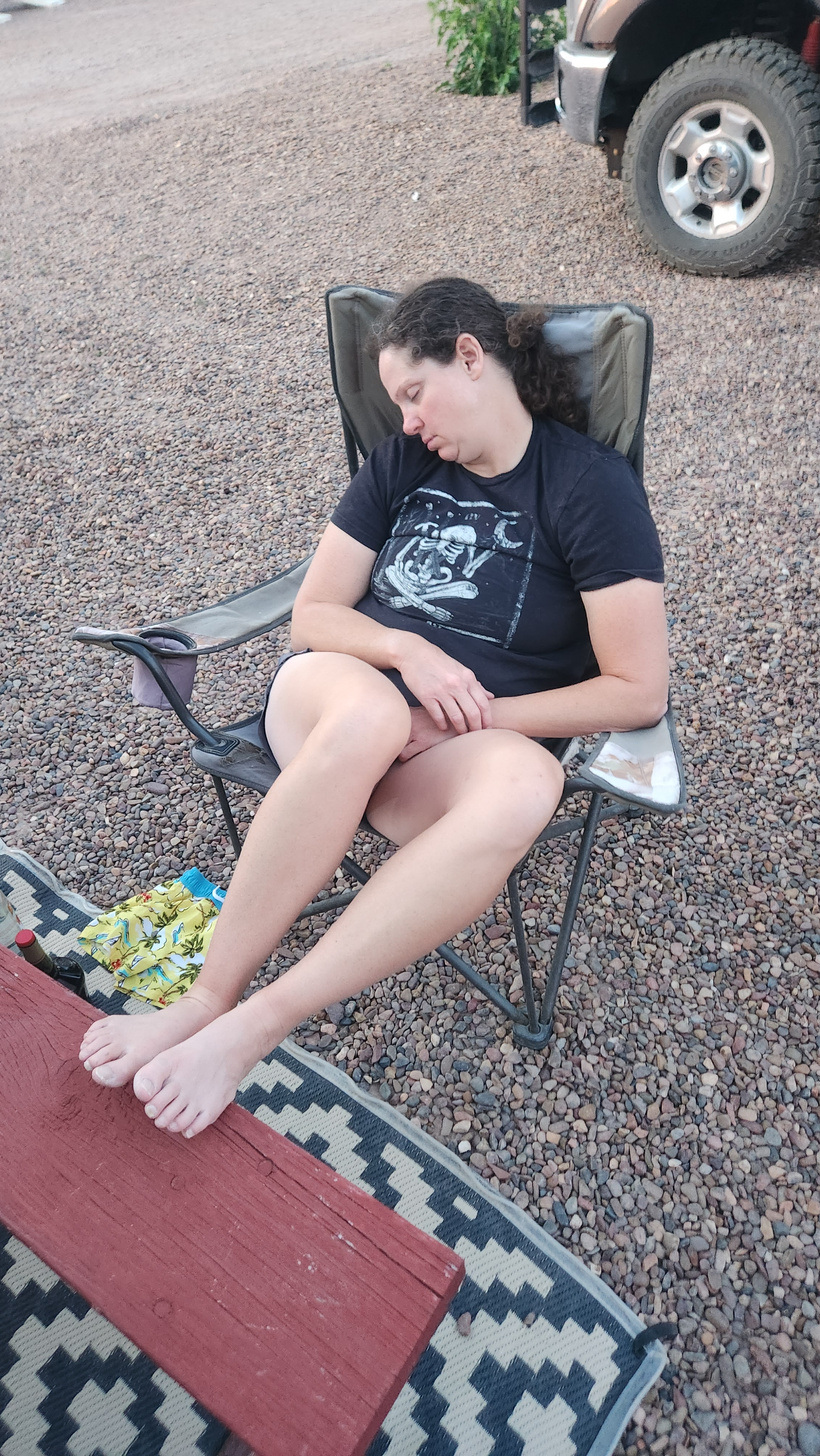
Meagan, on the other hand, was all worn out after that.
I’m not sure about the new mechanic, but he dressed himself and he’s ready to go to work for pre-trip checks!
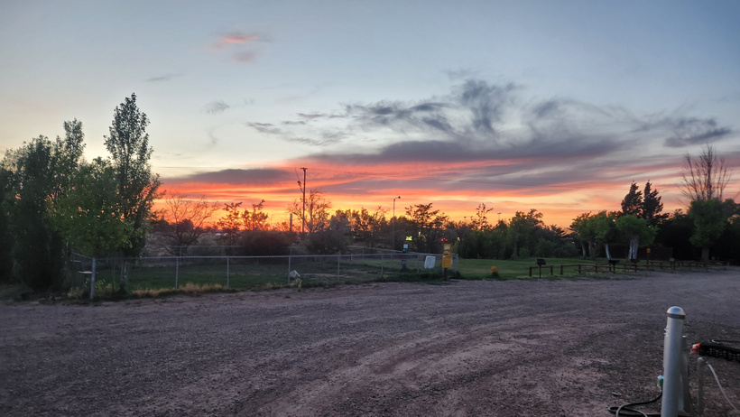
Arizona sunset.
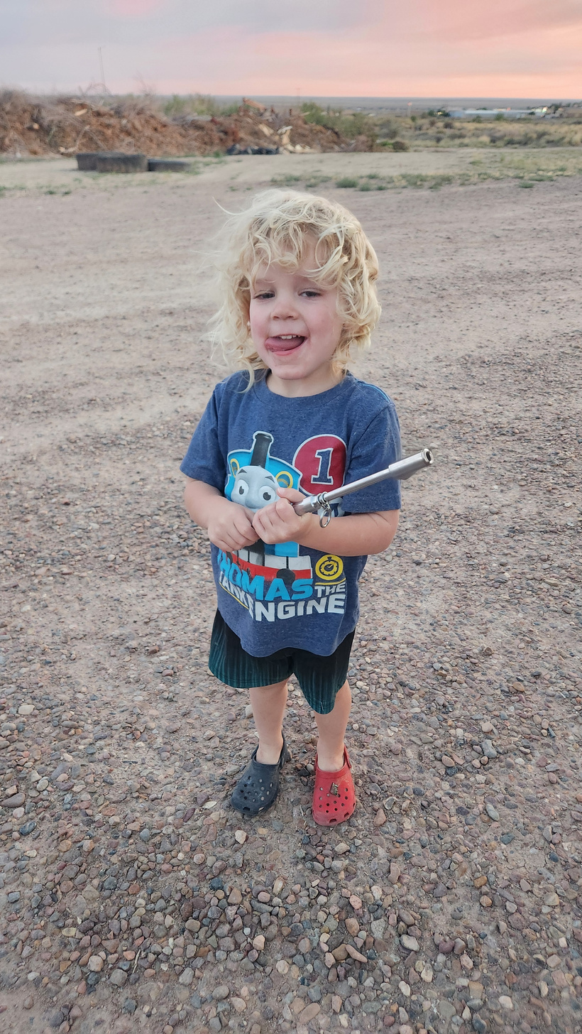
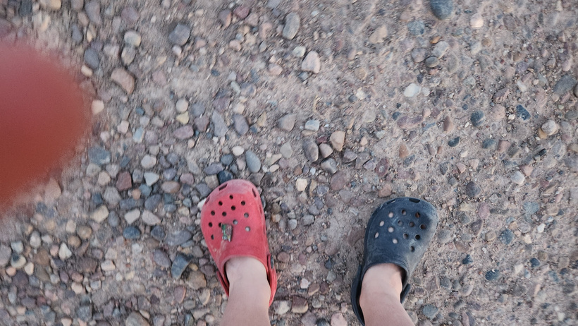
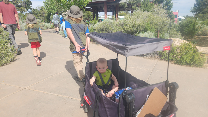
Ducky grabbed my phone while I was checking tire pressures and helped himself to the camera. I’ll spare you the many other wonderful pictures of tires and the RV steps that he took, but it was pretty cute.
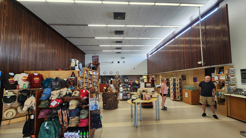
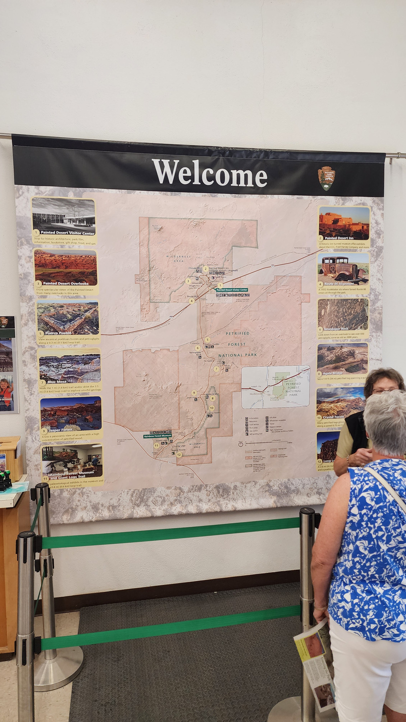
We stopped in at the visitor center for the kids to turn in their books – we had printed them out ahead of time.
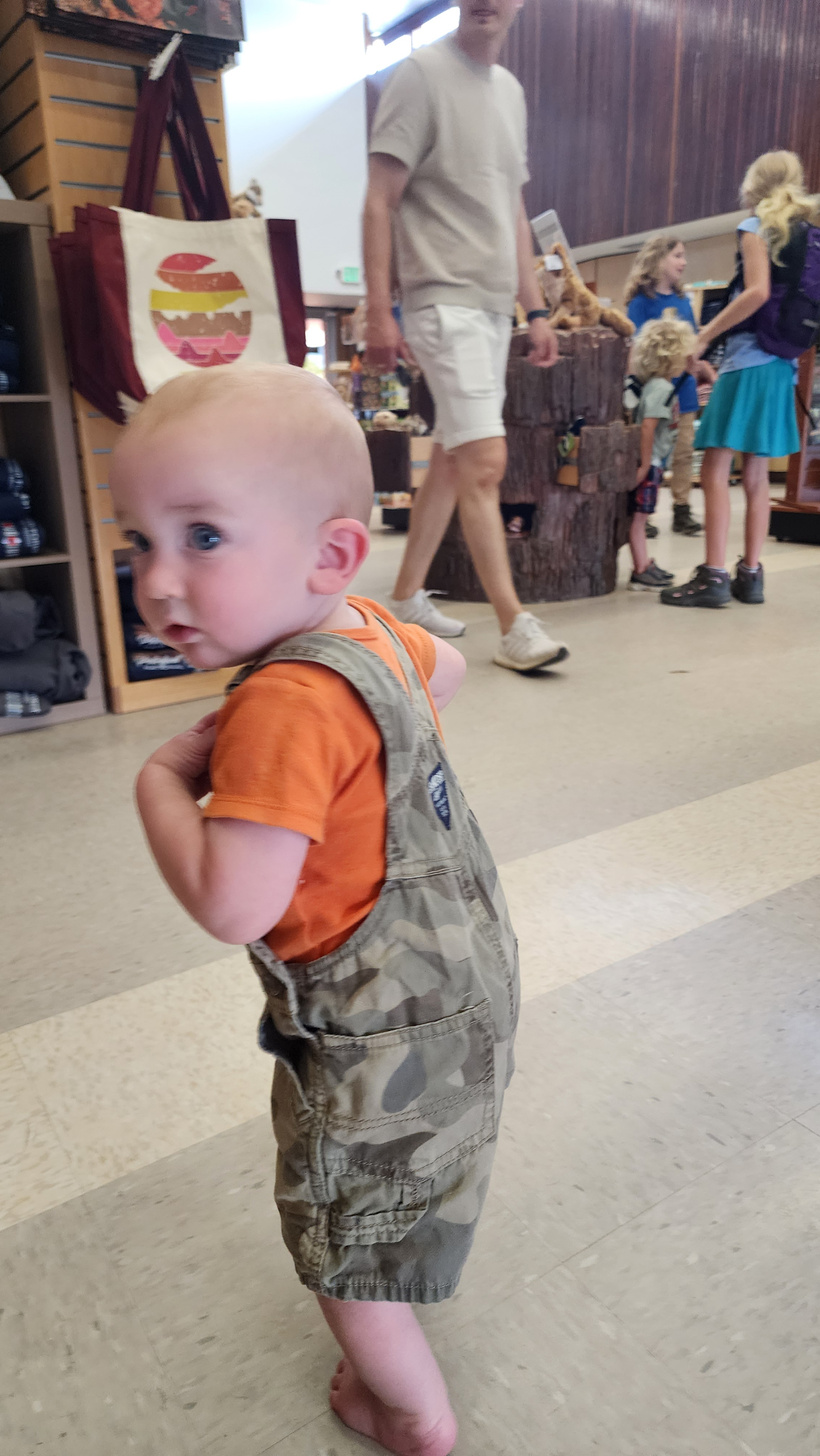
Randal enjoyed exploring the store. There were some stuffed animals and puzzles he was all about grabbing.
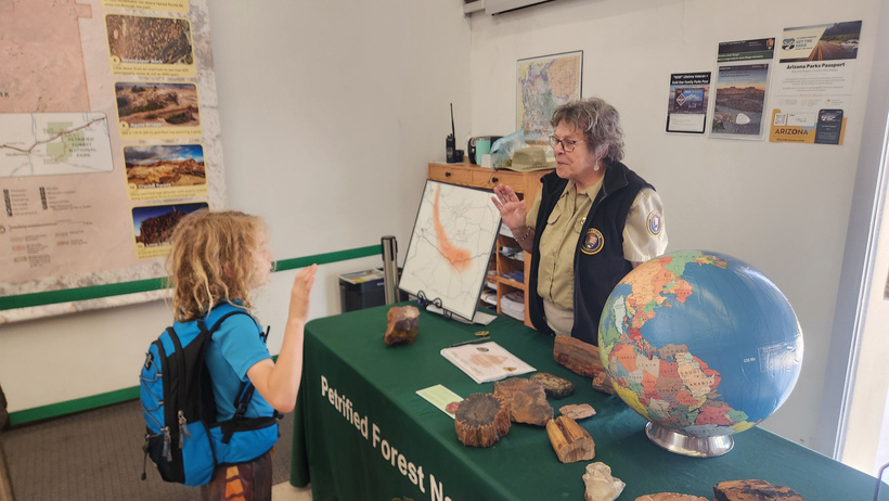
Evan turns in his book to get his badge. He had a little attitude about completing it, but he did eventually finish it under threat of us leaving and him not being able to turn it in.
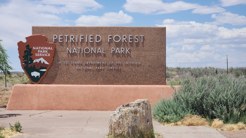
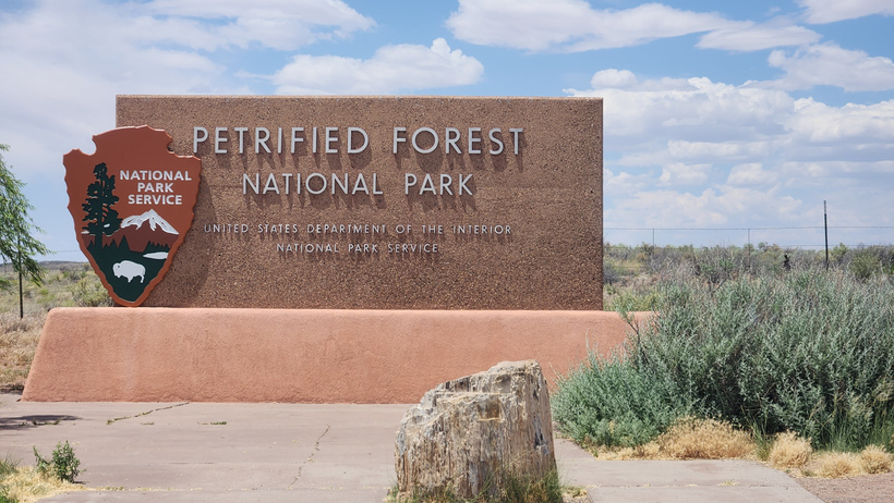
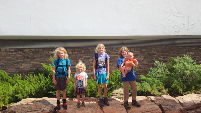
The crew posing on a petrified tree laid out in front of the visitor center building.
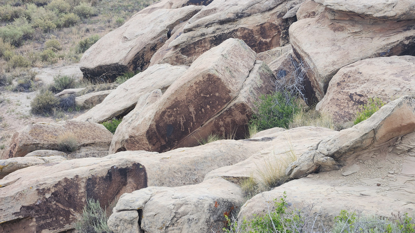
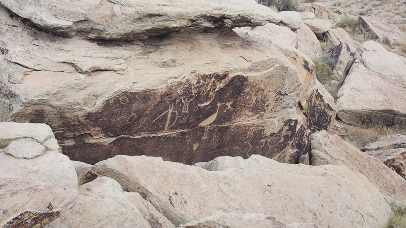
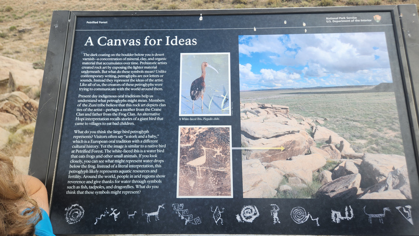
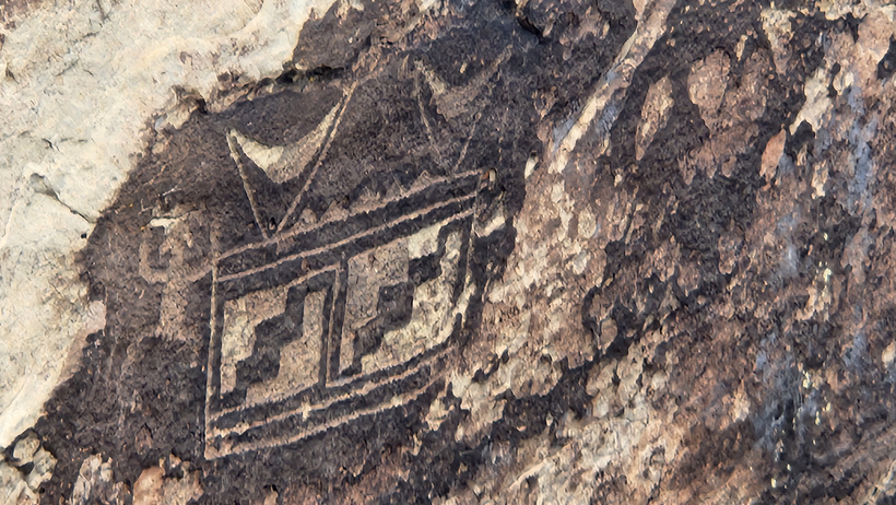
There were numerous petroglyphs present at the site as well.

Although the clouds came in and helped cool us off a bit, it was still plenty hot.
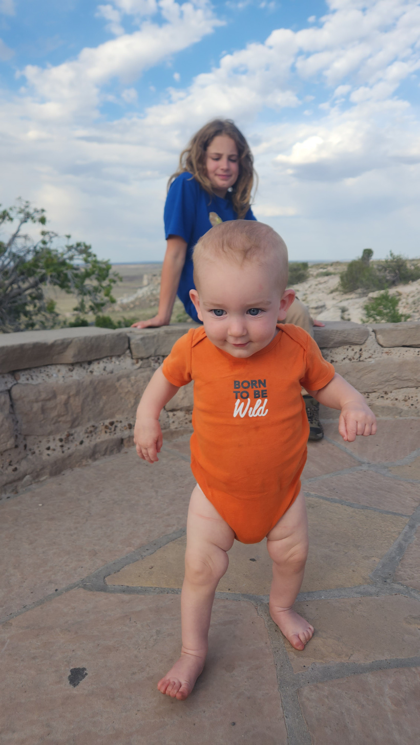
Free baby!
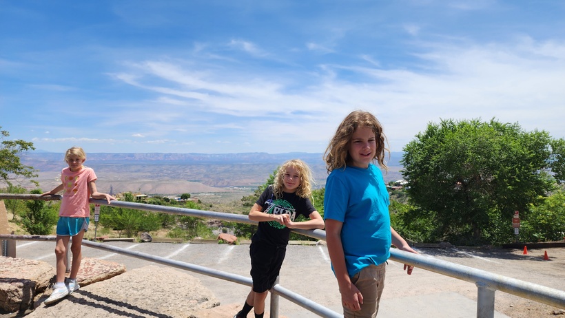
All of the parking was paid parking. There was quite the view of the valley below from the lot.
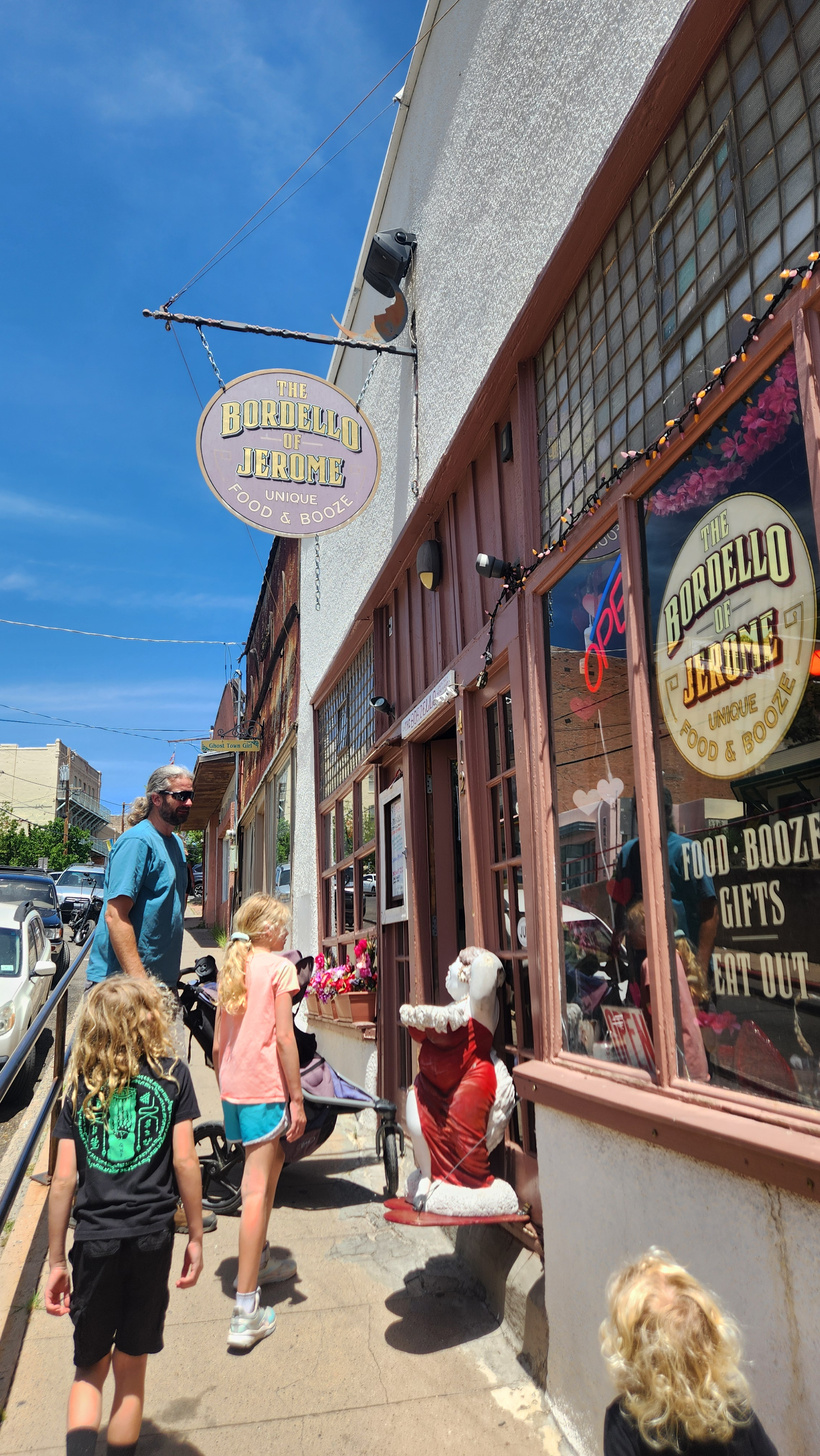
Keeping in character with the boom town history, there were a number of shops on theme.
We had lunch at the Bordello, now serving lunch and drinks as opposed to other forms of entertainment.
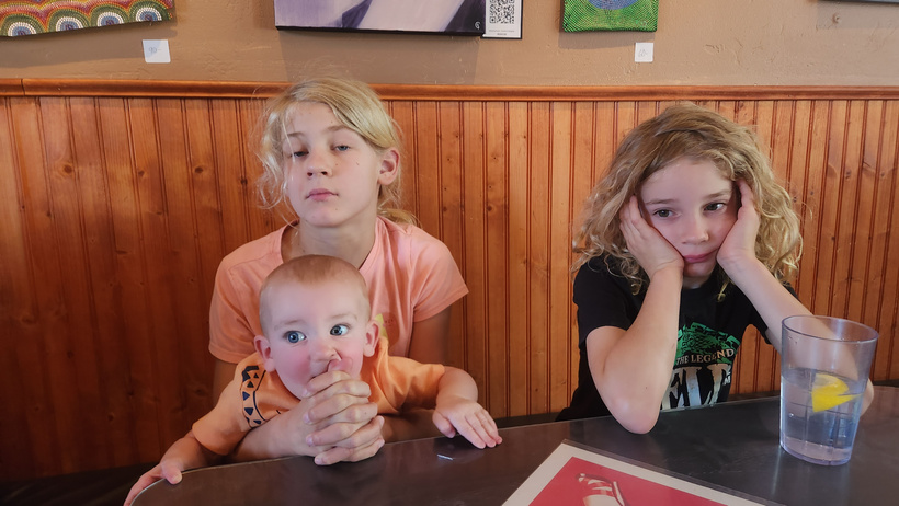
A hungry Randal nibbles on Arya’s hands while the kids wait for their food. After a decent lunch, we returned to the campground and the kids went swimming.
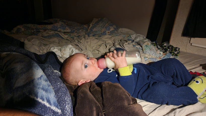
Randal hits the bottle one last time before bedtime.
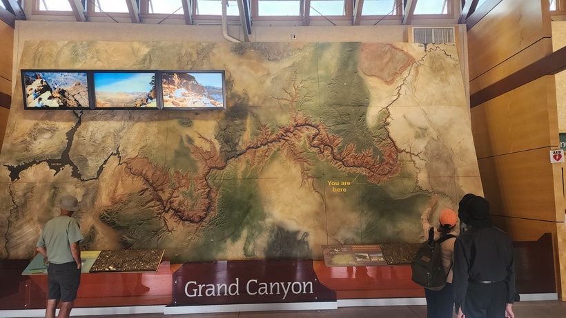
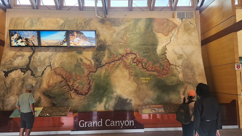
We drove to the South Rim visitor center at the
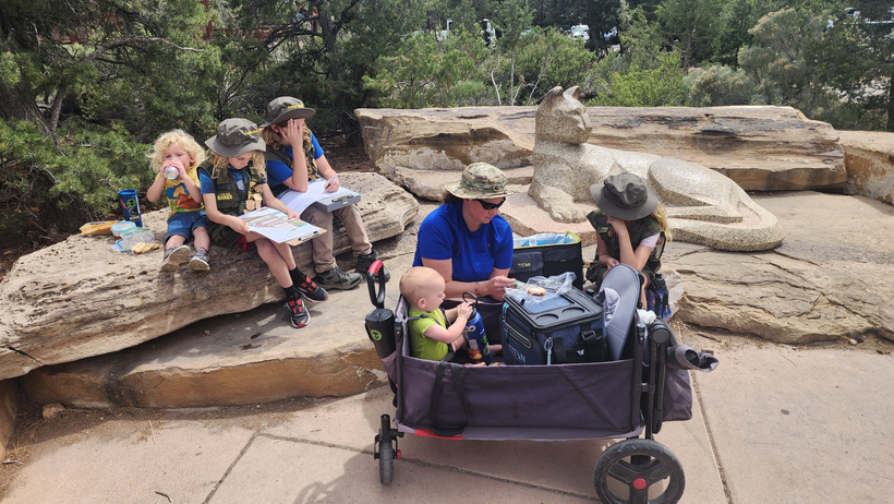
We sat out on the rocks and ate lunch and the kids worked on their books. It was a 2 hour drive one way from the campsite to the Visitor Center.
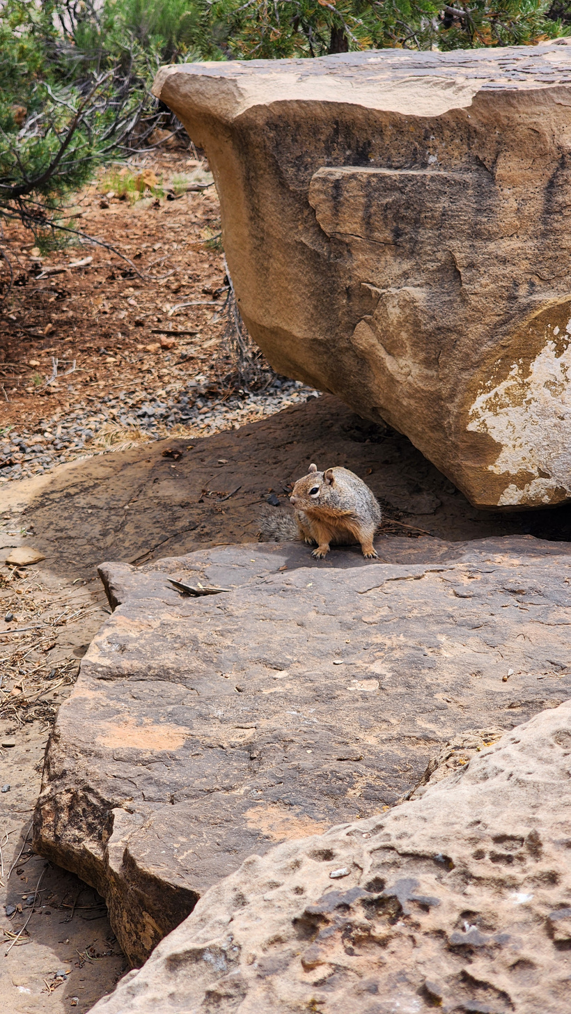
Carl the Fat Squirrel was checking us out. He wasn’t shy and was ready to get any scraps that he could.
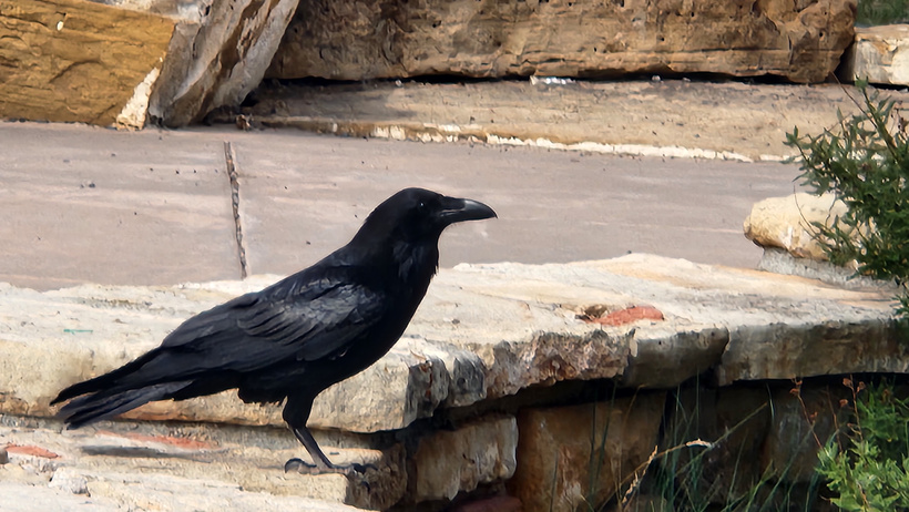
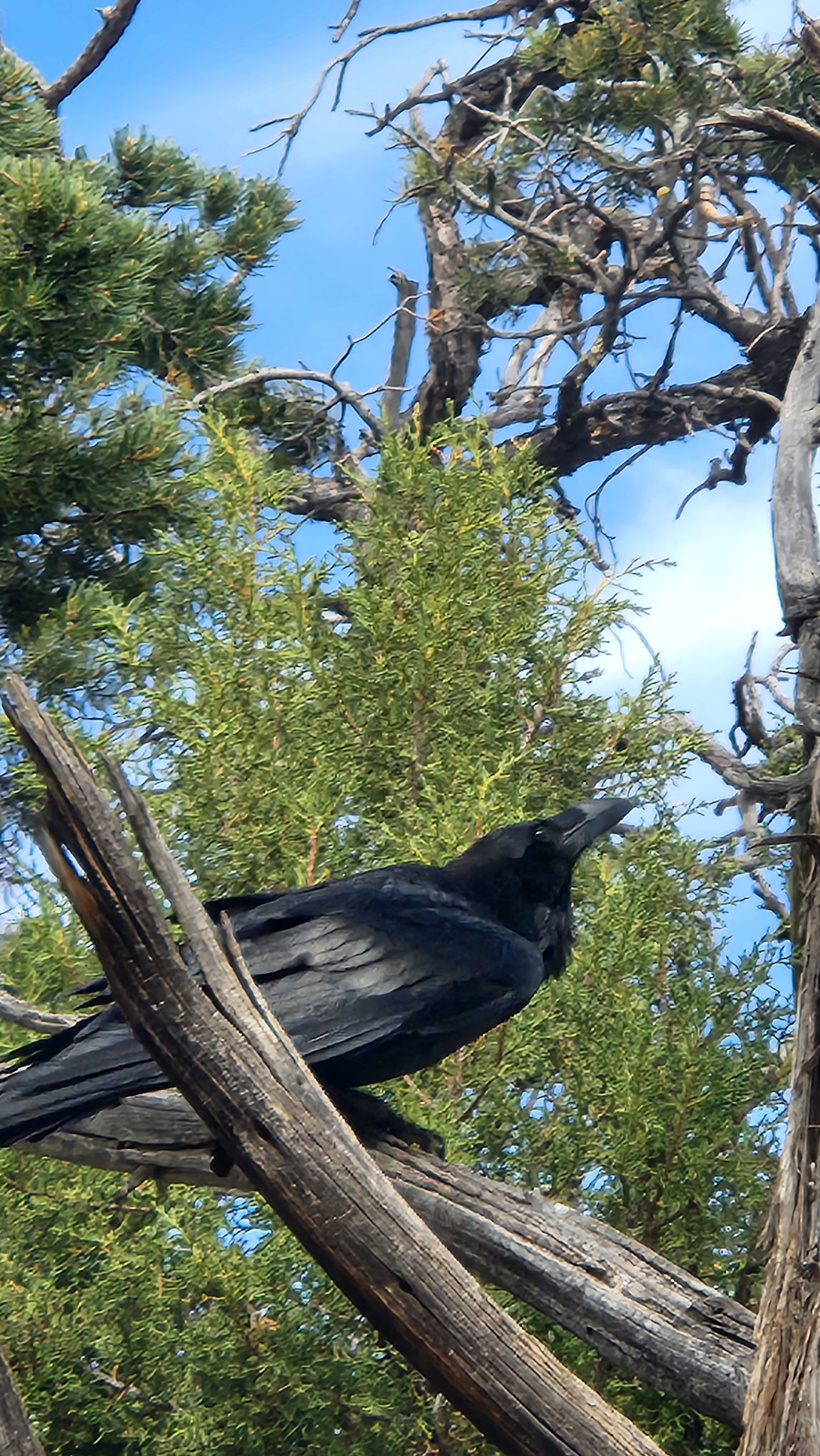
A pair of Ravens were also checking us out, hopeful for some morsels that Carl didn’t get.
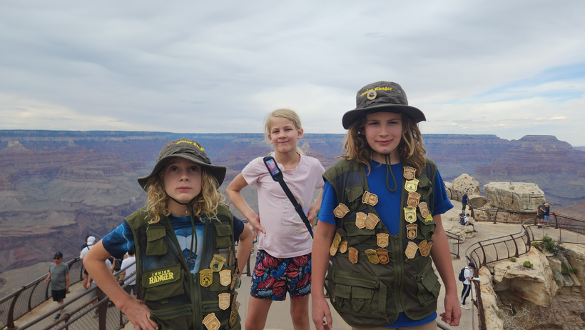
After lunch and doing their books, we took the short walk up to the observation area. It was very hot there, and any of the other hikes were out of the question for us with the kids.
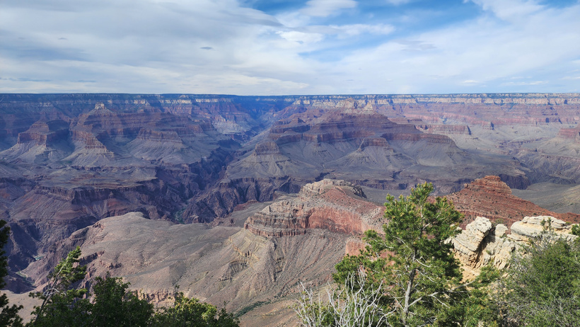
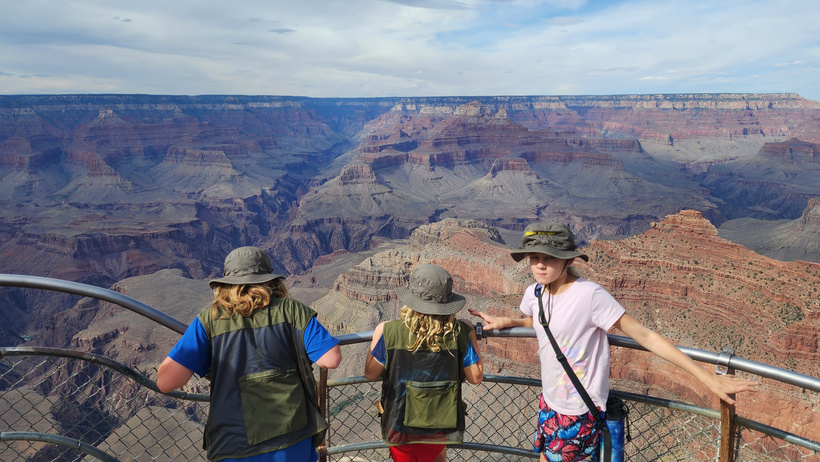
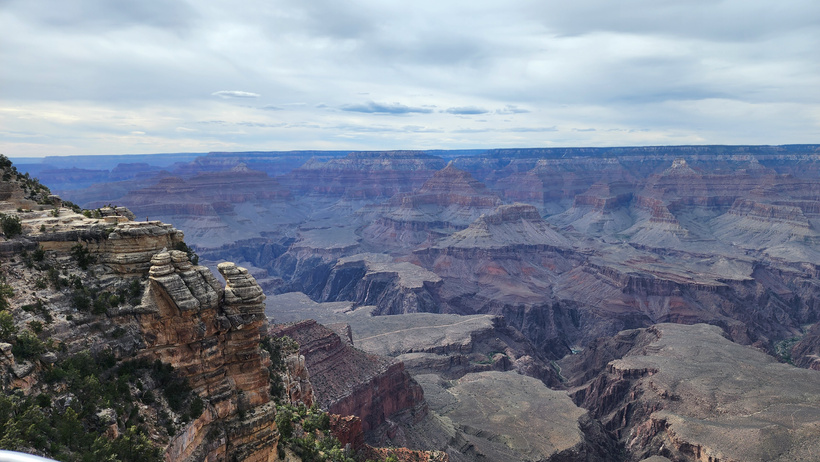
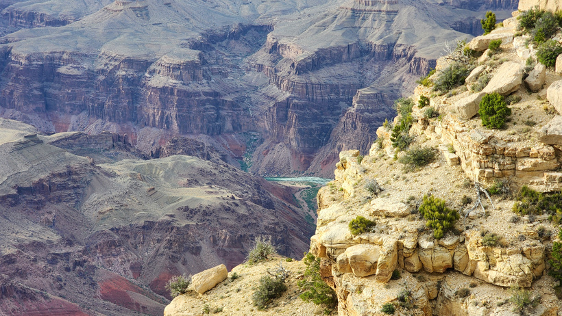
The observation decks were moderately busy but we did get some nice views of the Grand Canyon.
Wondering if they could climb down the canyon sides…
A brief glimpse of the Colorado River was all that we could see.
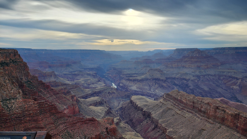
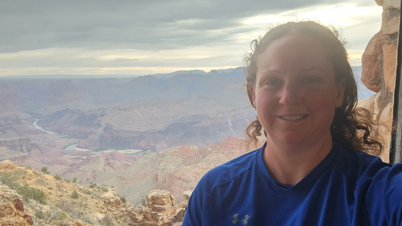
We took the scenic drive around the South Rim and got some nice views at sunset. Here, you can see the Colorado River reflecting the sunlight.
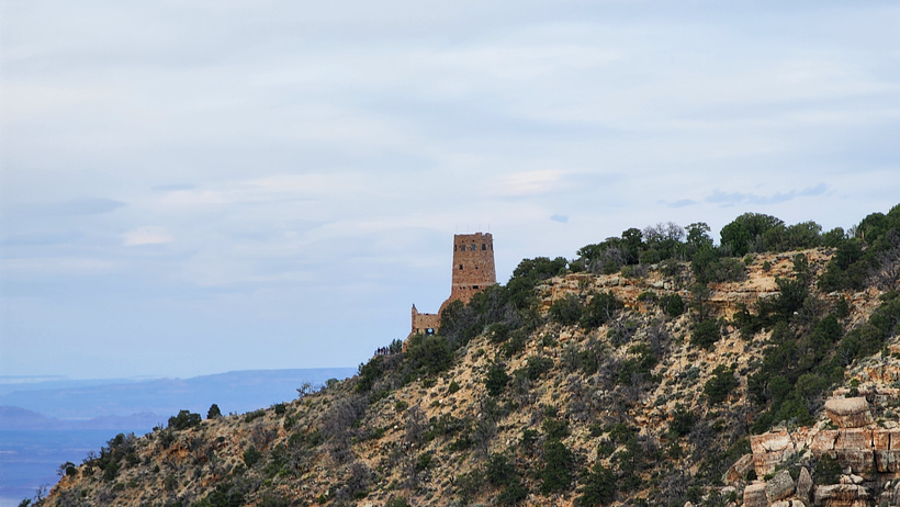
We got to the 
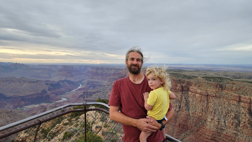
Meagan and I tag-teamed the visit. I took Ducky to go check it out and had a nice view of the sunset over the Canyon.

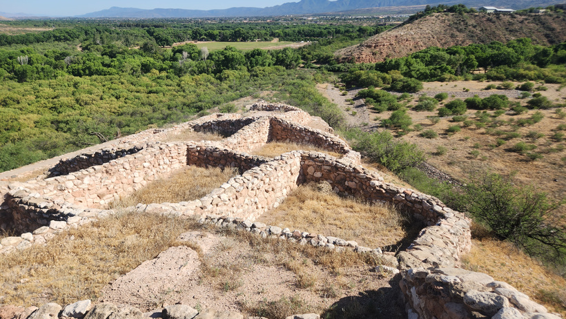
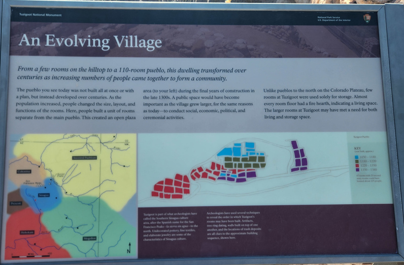
Like many other sites in the Southwest, there were several iterations of expansions until its abandonment.


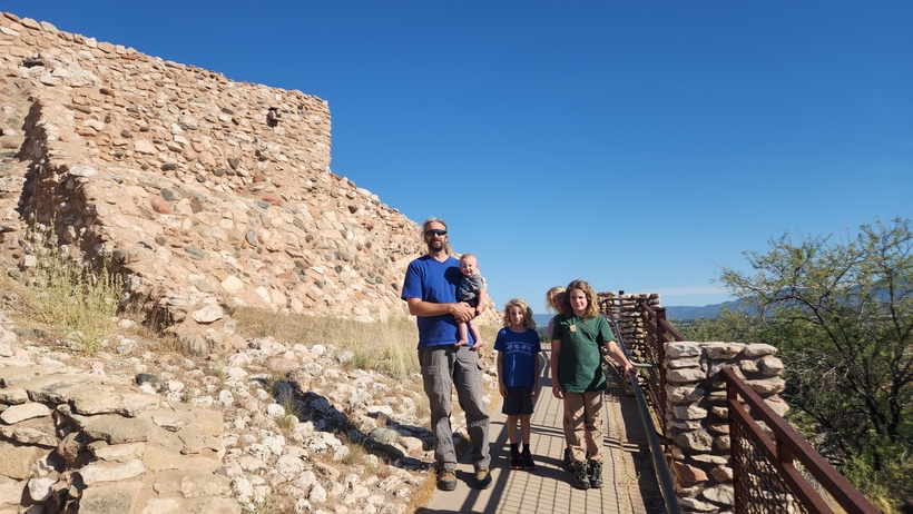
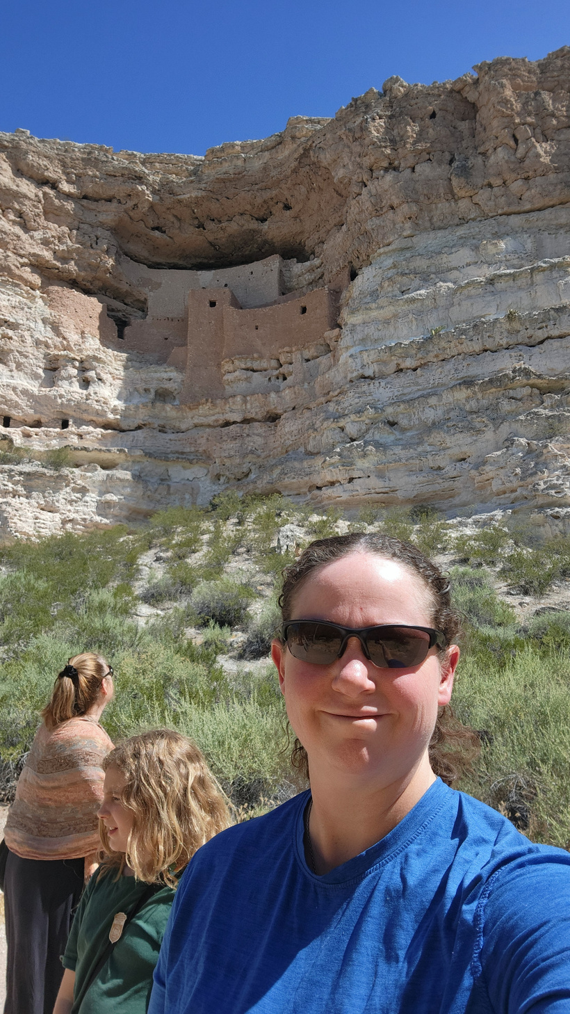
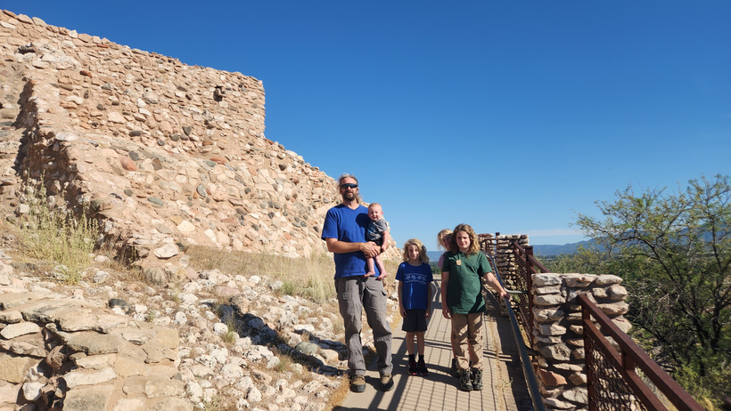
Alan and kids at the structure.
We were able to print out the kids’ Junior Ranger Books at the RV and they worked on them and were able to quickly turn in their books when we arrived. This is one of the smaller National Monuments. The structure was a short walk from the visitor center.
Meagan and I tag teamed this one, as Randal was sleeping and one does not dare disrupt a sleeping baby.
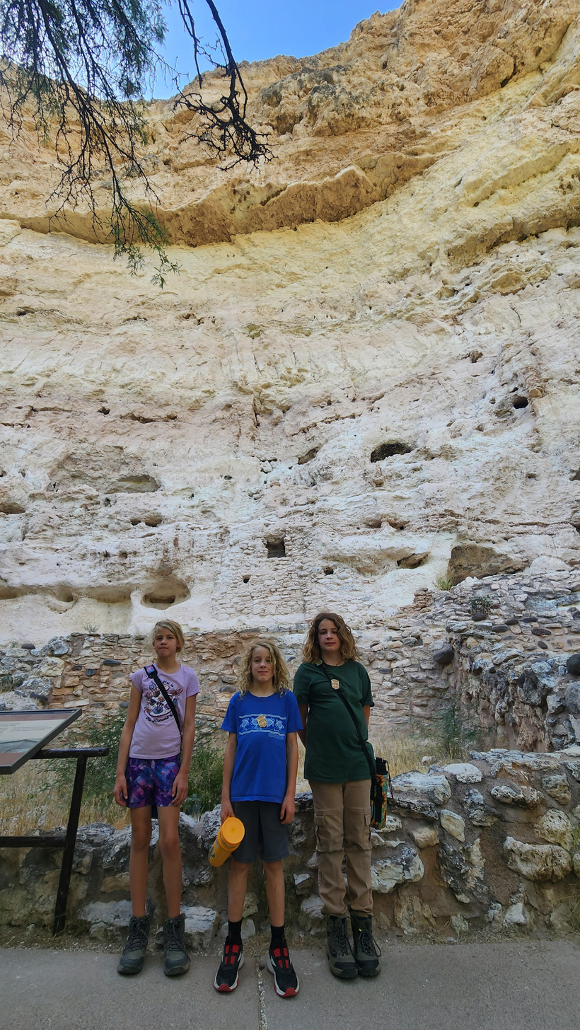
The kids pose in front of the ‘castle’ – a series of cliff houses built along the cliff face.
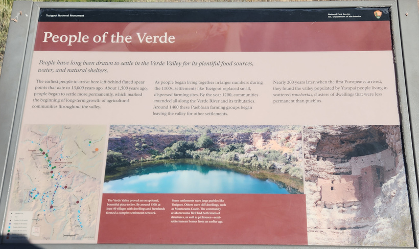
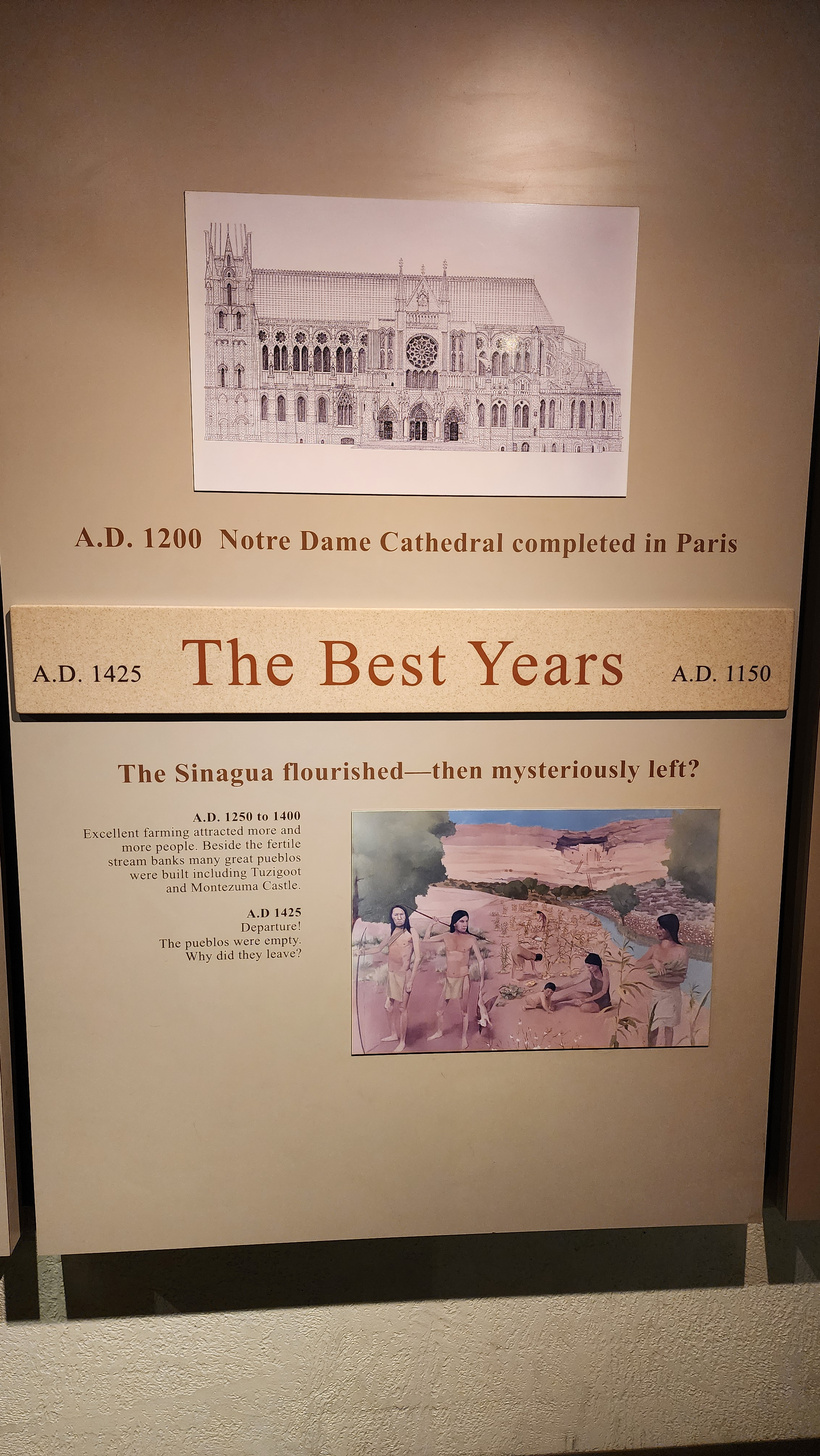
After Meagan and the kids walked through, I took a short walk through the visitor center and along the trail. In the museum portion of the visitor center, they had a timeline showing comparative development of the Sinagua [without water] compared to Europe. It was interesting to note that the peak of this culture building mud huts coincided with the completion of the Notre Dame Cathedral in France.
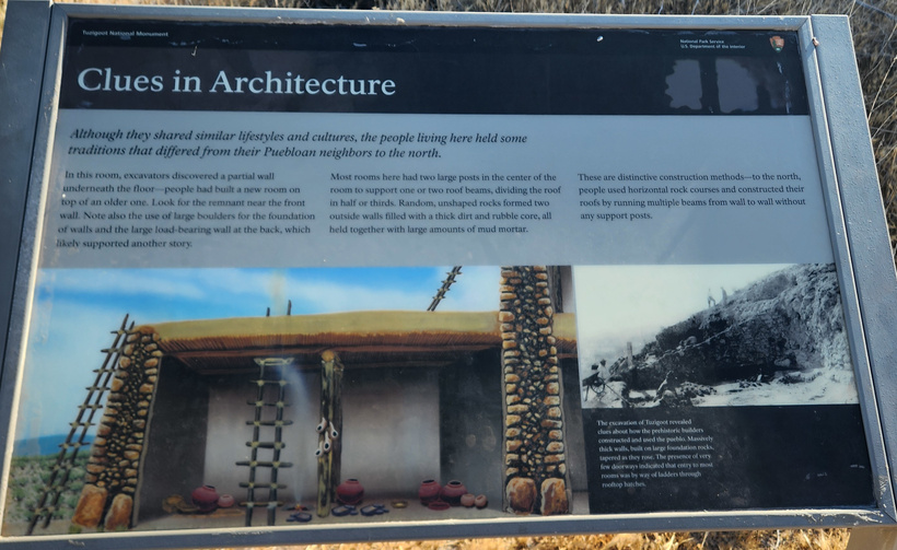
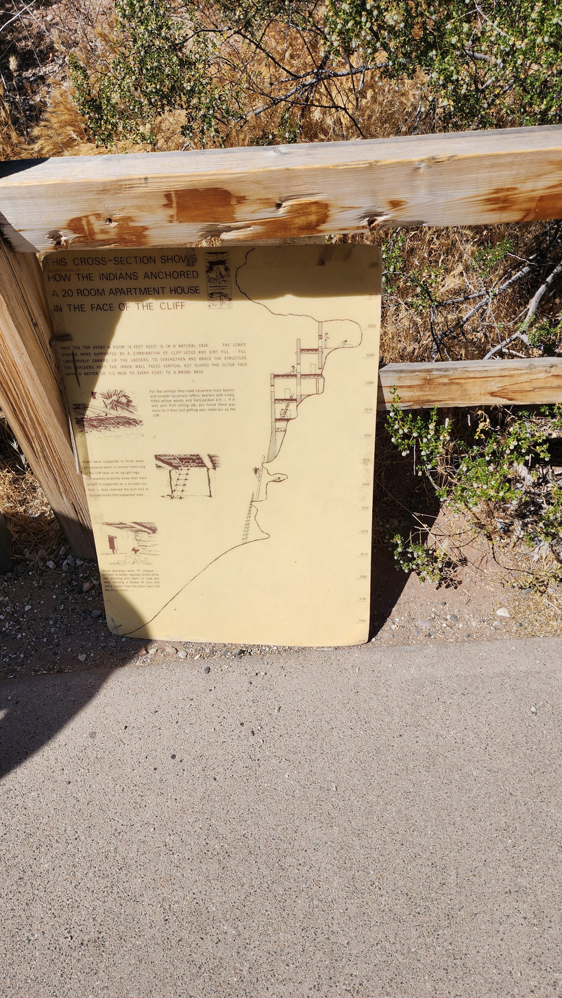
A cut away view of the cliff dwellings.